
Introduction
Grid drawing landscape techniques systematically break down complex natural scenery into manageable coordinate squares to teach children proportional accuracy, coordinate mapping, and visual observation. According to the National Art Education Association (NAEA), structured observational drawing exercises significantly enhance children’s spatial reasoning, fine-motor coordination, and visual analysis capabilities during early childhood development. By pairing printed landscape templates with real photo visual flashcards, educators and parents provide early elementary learners with concrete visual references that bridge abstract spatial concepts and tangible artistic creation. This systematic approach eliminates the intimidation factor of blank paper, allowing young artists to focus intently on single grid segments rather than becoming overwhelmed by an entire horizon.
Visual Learning & Skill Snapshot:
- Core Focus: Systematic coordinate-based landscape replication using printable grids and real photography.
- Target Skill: Spatial reasoning, visual discrimination, fine-motor proportion estimation, and observation skills.
- Key Recommendation: Pair simple 3×3 photo grids with tactile sketching materials to build early structural confidence.
Core Principles and Visual Learning Overview
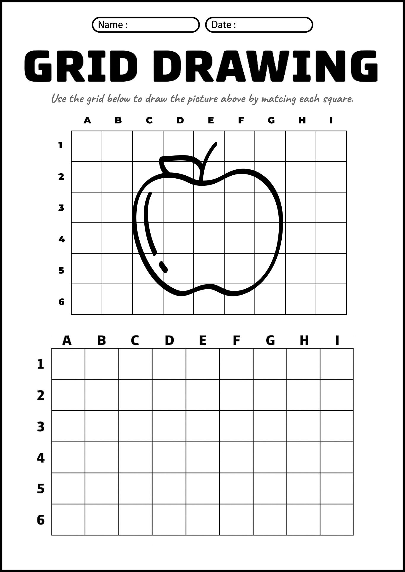
Grid drawing landscape methodologies rely on geometric decomposition, transforming an organic natural scene into a structured grid coordinate system that simplifies complex visual inputs. When young learners transfer visual data square by square, cognitive load drops substantially, enabling sustained attention and accurate proportion estimation. This method trains the brain to shift from conceptual symbol drawing—such as drawing a generic house or tree shape—to observational drawing, where actual lines, angles, and negative spaces are faithfully recorded. Utilizing real photo flashcards as reference material ensures children interact with authentic textures, organic lighting, and true-to-life environmental proportions rather than simplified cartoon representations. Such rigorous visual training builds foundational geometry and cartography readiness while fostering deep appreciation for natural landscapes. For more related activities, check out our Grid Drawing Image.
Key Specifications and Breakdown
| Age / Learning Stage | Visual Skill & Grid Ratio | Pedagogical Application & Scaffolding |
|---|---|---|
| Ages 4-6 (Early Explorer) | 3×3 grid using high-contrast photo references | Focuses on locating simple shapes, basic horizontal lines, and developing pencil grip control via Photo Flashcards. |
| Ages 7-9 (Developing Artist) | 4×4 or 5×5 grid with detailed nature scenes | Enhances angle estimation and line continuity through structured Grid Drawing exercises. |
| Ages 10+ (Advanced Learner) | 6×6+ multi-point perspective grids | Refines intricate proportional scaling, shading transitions, and complex Educational Activities. |
Systematic observational practice through coordinate grid mapping measurably accelerates visual-spatial intelligence and geometric comprehension in early learners — National Art Education Association (NAEA)
Step-by-Step Practical Application and Printing Guidelines
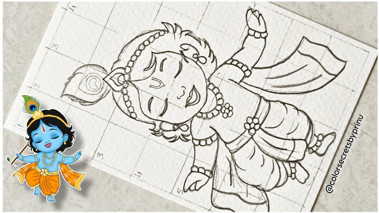
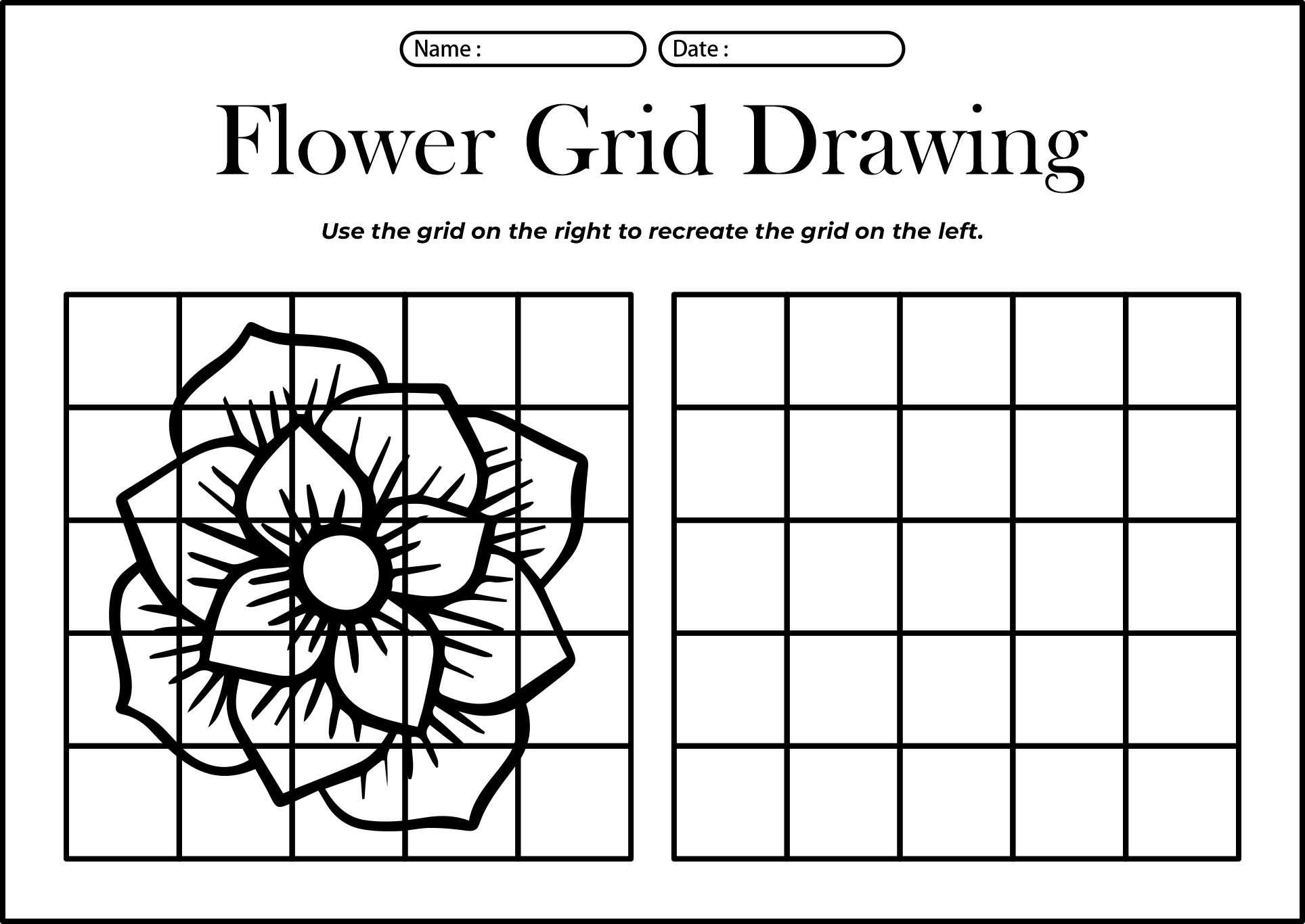
Executing a successful grid drawing landscape activity requires durable print materials, sharp reference photos, and clear step-by-step instructions for young participants. Begin by printing out matching landscape worksheets featuring identical grid lines on both the reference photograph and the blank drawing template. Instruct learners to isolate one grid box at a time by covering the rest of the worksheet with a blank index card, effectively minimizing visual clutter and distraction. Encourage children to look closely at where lines enter and exit each grid border, translating coordinates precisely before moving to the adjacent square. Laminating reference cards and using dry-erase markers for initial practice sessions allows children to make mistakes, erase, and re-estimate proportions without paper fatigue or frustration.
Common Challenges and How to Avoid Them
Children frequently encounter difficulties with grid drawing landscapes when attempting to sketch the entire image at once instead of focusing on isolated coordinate squares. To counter this tendency, educators should actively model the box-by-box method, demonstrating how to use visual masking tools to keep attention strictly localized. Another common challenge involves scaling errors where lines cross grid boundaries incorrectly; providing lightly numbered or lettered coordinate axes (such as A-1, B-2) helps young learners cross-reference locations accurately. Teachers and homeschooling parents can prevent hand fatigue and discouragement by selecting simpler landscape templates with fewer elements before progressing to dense forests, rolling mountains, or complex architectural horizons.
💬 Frequently Asked Questions
Explore More Free Learning Printables and Visual Activities on WePhotoAgency
Accessing high-quality, educator-approved resources transforms early art instruction into an engaging, structured journey of cognitive and creative growth. Discover an extensive library of printable worksheets, visual guides, and developmental tools by exploring WePhotoAgency.com today to support young learners at every stage of discovery.
Visual Reference Gallery